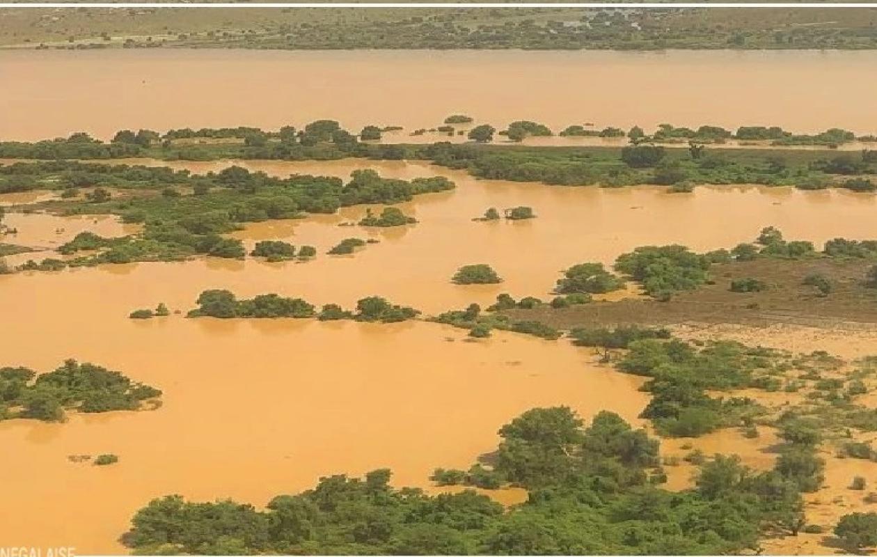
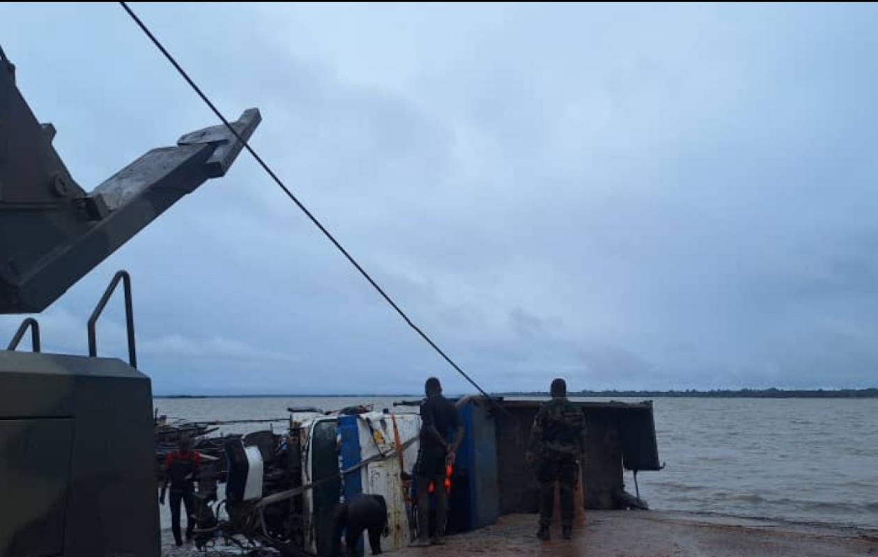
FLEUVE SÉNÉGAL ET AFFLUENTS : HAUSSE DU NIVEAU À KIDIRA, BAKEL, MATAM ET PODOR
The Saint Louis and Matam Water Resources Brigade published this Thursday, August 21, 2025, its daily hydrological bulletin on the evolution of the Senegal River and its tributaries.
Hydrological surveys at the level of the tributaries of the Senegal show a rise of 21 cm in the water level of the Falémé at the Kidira station, where the level of 8m, 42 on August 20, 2025 at 8:00 a.m. rose this morning to the level of 8m, 63, compared to 8m, 00 last year at the same time. On the Bakoye at the Oualia station, moreover, the trend is downward by 6 cm. The water level at the level of 4m, 70 yesterday Wednesday August 20, 2025 at 8:00 a.m., is currently at 4m, 64 compared to 6m, 78 in 2024 at the same times.
On the main course of the Senegal River, the Bakel hydrological station is showing a trend of rising water levels of 10 cm per day, now reaching 9.22 m, compared to 9.12 m the day before. At the same time last year, the level was 9.19 m. With the rising waters, Bakel is 78 centimeters from the alert level of 10 meters.
At the Matam station where the water level was at a level of 7m, 60 on August 20, 2025 at 8:00 a.m., this morning at 8:00 a.m. the level is at 7m, 64 compared to 6m, 47 in 2024 at the same time. With this current level where a rising trend of 4 cm has begun, the station is now only 36 centimeters from the alert level of 8 meters.
The Podor station, whose elevation is 5 meters, recorded a rise of 5 cm today, with a current level of 4.05 m, compared to 4 m the day before. The Richard-Toll station, meanwhile, recorded stability, with a stationary trend, announcing a water level of 2.71 m compared to 2.74 m last year. The alert level at the Richard-Toll station is 3.35 meters.
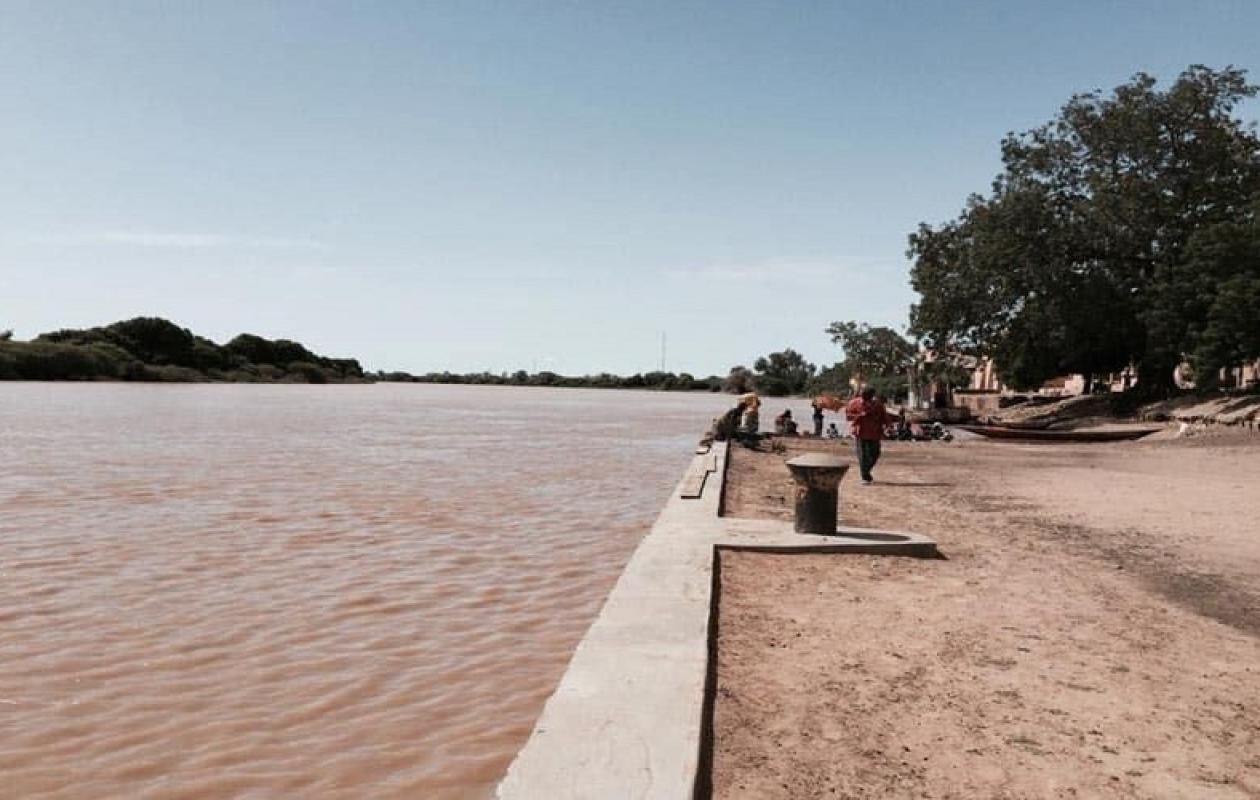
With an alert level of 1.75 meters, the level of the Senegal River at Saint-Louis is currently at the 0.96 meter mark on the scale. Last year, the level was 1.13 meters at 8:00 a.m.
In Diama, as the document states, "the water level is at 1.90 m this August 21, 2025 at 8:00 a.m. At the same time last year, the river level was at the IGN level of 1.94 m. The flow released is equal to 1250 m3/s compared to 1200 m3/s in 2024." The Water Resources Brigade of Saint-Louis and Matam, reports that "Overall, the upstream level is being lowered to prepare for the passage of the flood without major consequences on Saint Louis." Before emphasizing that this lowering allows the waters towards Saint Louis and the mouth to be modulated...
The level of the Bafing at Manantali (Upstream Dam) which is 201.96 m this August 21, 2025 at 8:00 a.m. exceeds that of last year when it was at the level of 197.41 m. The flow turbined by Manantali, this day, is 205 m3/s compared to 203 m3/s on the same date last year. As a reminder, the normal level of the reservoir is 208.05 m IGN and the exceptional level is 211 meters.


Commentaires (1)
pas un seul commentaire . Voilà ce que l'on appelle le mépris
Participer à la Discussion