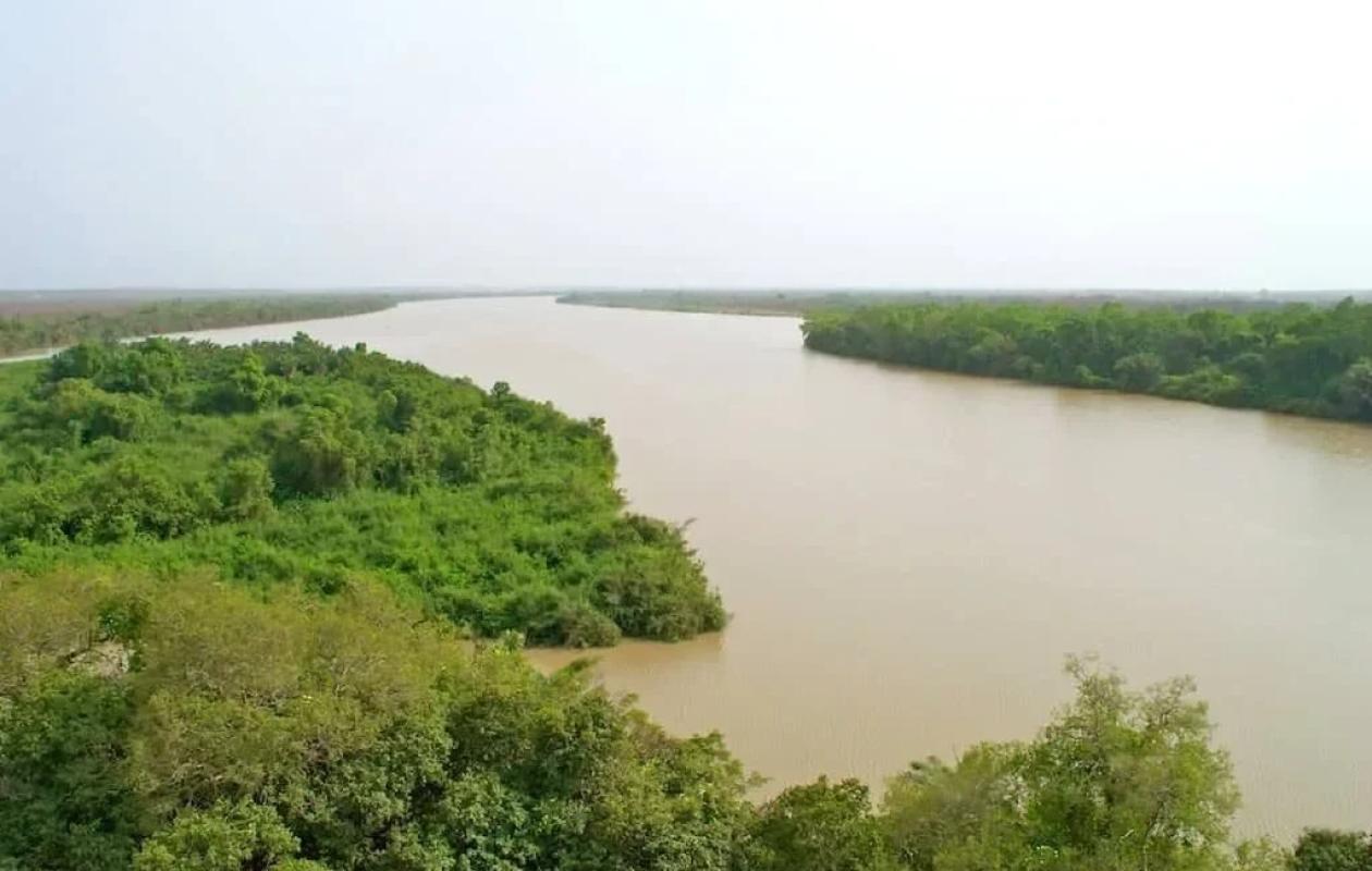
Hydrologie du fleuve Gambie : les niveaux d’eau poursuivent leur baisse dans tout le bassin.
The latest hydrological bulletin published by the Tambacounda-Kédougou Water Resources Brigade reveals a widespread decline in water levels observed on the Gambia River and its main tributaries. The downward trend, which began several weeks ago, is confirmed at almost all of the hydrometric stations monitored.
Tributaries in marked decline
At Diaguiri, one of the tributaries of the Gambia River upstream of Mako, the water level measured this morning at 8 a.m. was 1.82 m, compared to 2.00 m the day before. This represents a drop of 18 centimeters in 24 hours. At the same time last year, the level reached 2.57 m, which confirms a more pronounced decline this year.
At Afia Pont (Thiokoye), the recorded height is 1.81 m, a level also lower than that of 2024 (2.01 m).
The Niokolo Koba station shows a slight drop of 3 cm, with a level of 5.29 m compared to 5.32 m the day before. Here too, the river is lower than last year (6.24 m at the same date).
Furthermore, the Sinthiou Malème and Goumbayel stations are now recording a flow stoppage, indicating that the flow is zero. At Diahra Pont, the river level has not reached the measuring scale, confirming the current low flow.
The Gambia River continues to fall in Kédougou and Mako
In Kédougou, the water level measured this morning was 2.81 m, compared to 2.90 m the day before, a drop of 9 cm. The level remains well below the alert level set at 7 m. On the same date in 2024, the river stood at 3.15 m, indicating a more rapid decline this year.
In Mako, the trend is similar: 2.98 m recorded compared to 3.00 m on October 27, a drop of 2 cm. In 2024, at the same time, the level reached 3.21 m. Here again, we are still far from the alert level (6 m).
Historically low levels in Gouloumbou
Further downstream, at Gouloumbou, the decline is more pronounced: the river level has dropped from 5.25 m to 5.04 m, a drop of 21 cm in 24 hours. This is in stark contrast to last year, when the water level reached 12.85 m on the same date. Despite this drop, the level remains below the alert level of 12 m.
Missing data in Simenti
At Simenti, no data was received this morning, but the last available measurement (October 27) indicated a level of 4.63 m. The previous year, the data was also not transmitted. The alert level for this station is 13 m.
According to technicians from the Water Resources Brigade, this widespread drop in water levels is explained by the end of the rainy season and the gradual decrease in upstream water supplies. While the situation remains under control, vigilance remains essential for monitoring water resources, which are essential for agricultural and domestic activities in the region.


Commentaires (0)
Participer à la Discussion
Règles de la communauté :
💡 Astuce : Utilisez des emojis depuis votre téléphone ou le module emoji ci-dessous. Cliquez sur GIF pour ajouter un GIF animé. Collez un lien X/Twitter, TikTok ou Instagram pour l'afficher automatiquement.